
Geological Research Authority Launches GIS and Remote Sensing Training Course at Kassala Office
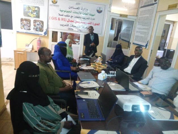
The Kassala Office of the General Authority for Geological Research launched an internal training course on Geographic Information Systems (GIS) and Remote Sensing, as part of the Authority’s ongoing efforts to strengthen the capacities of its technical staff and promote the use of modern technologies in geological surveying and spatial data management.
The training brought together representatives from several relevant government institutions, reflecting the Authority’s commitment to enhancing institutional coordination, integration, and knowledge exchange. Participants included officials from the Urban Planning Department, the Sudanese Mineral Resources Company (SMRC), and the Kassala State Investment Commission.
Organizers emphasized that the program aims to enhance participants’ skills in the application of GIS and remote sensing technologies, thereby supporting planning and decision-making processes and improving the utilization of geospatial data across various sectors.
The course is part of the General Authority for Geological Research’s broader training and capacity-building program, which seeks to expand technical partnerships with relevant institutions, develop national expertise, support sustainable development goals, and contribute to the implementation of comprehensive geological survey projects.